
Time for point cloud-based BIM models?
“Why base the terrain model in infrastructure projects on "old" contour maps when you can get a fresh and more accurate representation of the terrain based on laser scanning”, wonders business developer Håkon Andresen at Blom, a leading European service provider of surveying, processing and modelling of geographic information.
Seamless BIM terrain models – better infrastructure projects
In building a new road or railway it is essential to start with a good terrain model of the existing situation to achieve the best possible result. This is crucial to planners, contractors, owners and society. It is all about reducing risk in relation to time, money and quality. Good terrain models and BIM for infrastructure is the way to go.
Improved tenders using BIM
Do BIM models provide a better basis for contractors when bidding for infrastructure projects? Without a doubt, say Norwegian contractors Hæhre Entreprenør and Skanska Norge. They are both committed users of BIM models in their infrastructure construction projects.

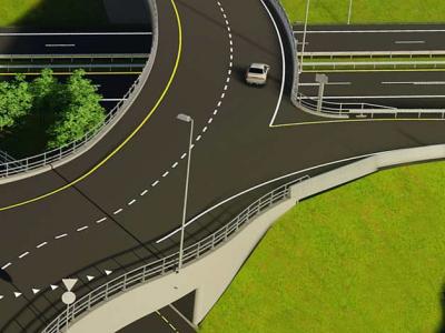
Groundbreaking IBIM approach in Norwegian joint road and rail project
With a holistic approach and very clear requirements for interdisciplinary 3D design modeling and collaboration, the Norwegian road and rail authorities literally pave the way for IBIM, “Infrastructure Building Information Modeling" in their ongoing E6-Dovrebanen Joint Project.